Ebb & Rise- Kris
The idea of my shelter comes from observing how water is received, stored, and drained across the salt pans. I studied the shifting behavior of water in relation to the terrain, as to where it slows down, gathers, or moves swiftly and studied patterns of flow of water to guide the form and organization of the spaces.
The site lies along the threshold where land meets the salt pans. A defined network of water channels run along this edge and through the bunds, supplying required water into the pans for salt cultivation. During high tide, water briefly enters the land, mixing with other surface flows. As the tide levels reduce, traces of it remain, when water seeps into shallow patches and existing channels. At the salt pans, water is never really held in one place; it rather keeps moving even through the smallest of gaps. Hence, the design of the shelter is such that it guides the movement of water through different spaces, allowing it to be filtered, experienced, but also eventually released back into the landscape.

Site Location Map


Site Photos

Argumentative Drawing

Site Plan

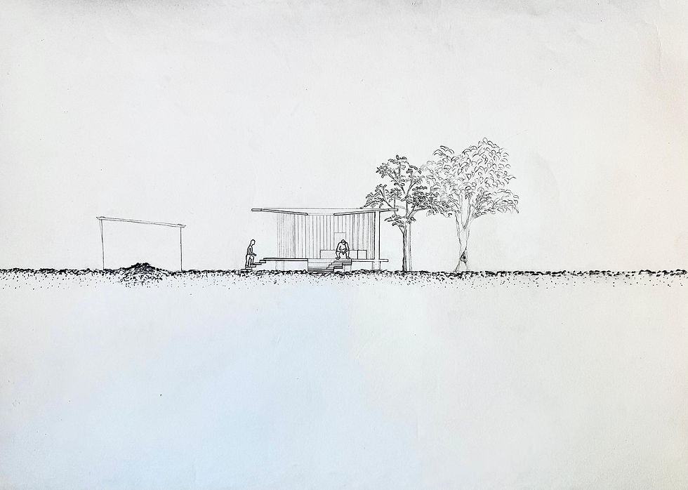
Threshold between main-land and salt-pans

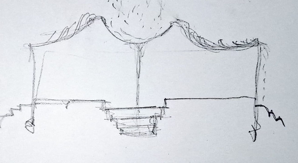

Roof Design Iterations

Preliminary form generated with volume


Detailing out the shelter

Plan 1:100

Section 1 and Section 2


Model/Views

Model/Views


Model/Views


Model/Views

Technical Resolution